Colorado - Day 2: Manitou Incline and Colorado Springs
I had booked a hot air balloon ride with Adventures Out West for the morning of Sunday, August 23, 2026. I was supposed to arrive at the Radisson Hotel parking lot in Colorado Springs by 6:00am, with the excursion scheduled from 6:15am to 9:45am.
It had rained in Manitou Springs and Colorado Springs the day before. Unfortunately, at 5:00am, I received a call letting me know that the rain had left the ground too wet for the balloon to take off. I rescheduled the ride for Monday, which had originally been the day I planned to hike the Manitou Incline.
Since I was already awake and ready to go, I figured I might as well switch the two days and hike the Manitou Incline that morning instead!
Manitou Incline
Key Details
Steps: 2,768
Elevation gain: ~2,000 feet
Incline distance: Less than 1 mile
Return: Barr Trail
Total route: ~3.6 miles
Difficulty: Difficult
Parking I used: Iron Springs Chateau, $15 cash / 4 hours
Hiking to the Summit
The Manitou Incline is an extremely steep hiking trail in Manitou Springs, Colorado, that climbs about 2,000 vertical feet in less than one mile via 2,768 railroad-tie steps, with sections reaching grades as steep as 68%.
I arrived at the Iron Springs Chateau parking lot at 444 Ruxton Avenue around 5:50am. Parking costs $15 cash for four hours, and the lot is first come, first served, so it can fill up quickly. There were still a handful of spaces available when I arrived.
While there are websites that still state that reservations are required to hike the Manitou Incline, it was my understanding that they have not been actively enforced since the fall of 2024. While the online reservation system was still available during my visit, there was no staffed check-in area at the base, and I was able to start hiking without a reservation, which was good because I hadn’t made one. The only staff member I saw was an attendant working the parking lot. I had also read similar reports from people who live in the area and posted in The Manitou Incline (Official Group) on Facebook.
Official websites also list specific access hours for the Incline. However, because there is no gate at the trailhead, I was able to begin hiking shortly before the posted opening time. The Incline can officially close for scheduled maintenance, safety concerns, races, or other events, so I would still recommend checking the current trail status before visiting.
For the hike, I wore my Salomon Speedcross 5 trail running shoes, hiking pants, a short-sleeved workout shirt, and my Mountain Hardwear Crater Lake Long-Sleeve Hoody. I also carried my Gregory Jade 28 daypack with a 3-liter CamelBak, along with my Canon R6 and 15–35mm lens and some snacks.
Civil twilight began at 5:53am, and sunrise was at 6:20am. I started hiking at 5:55am.
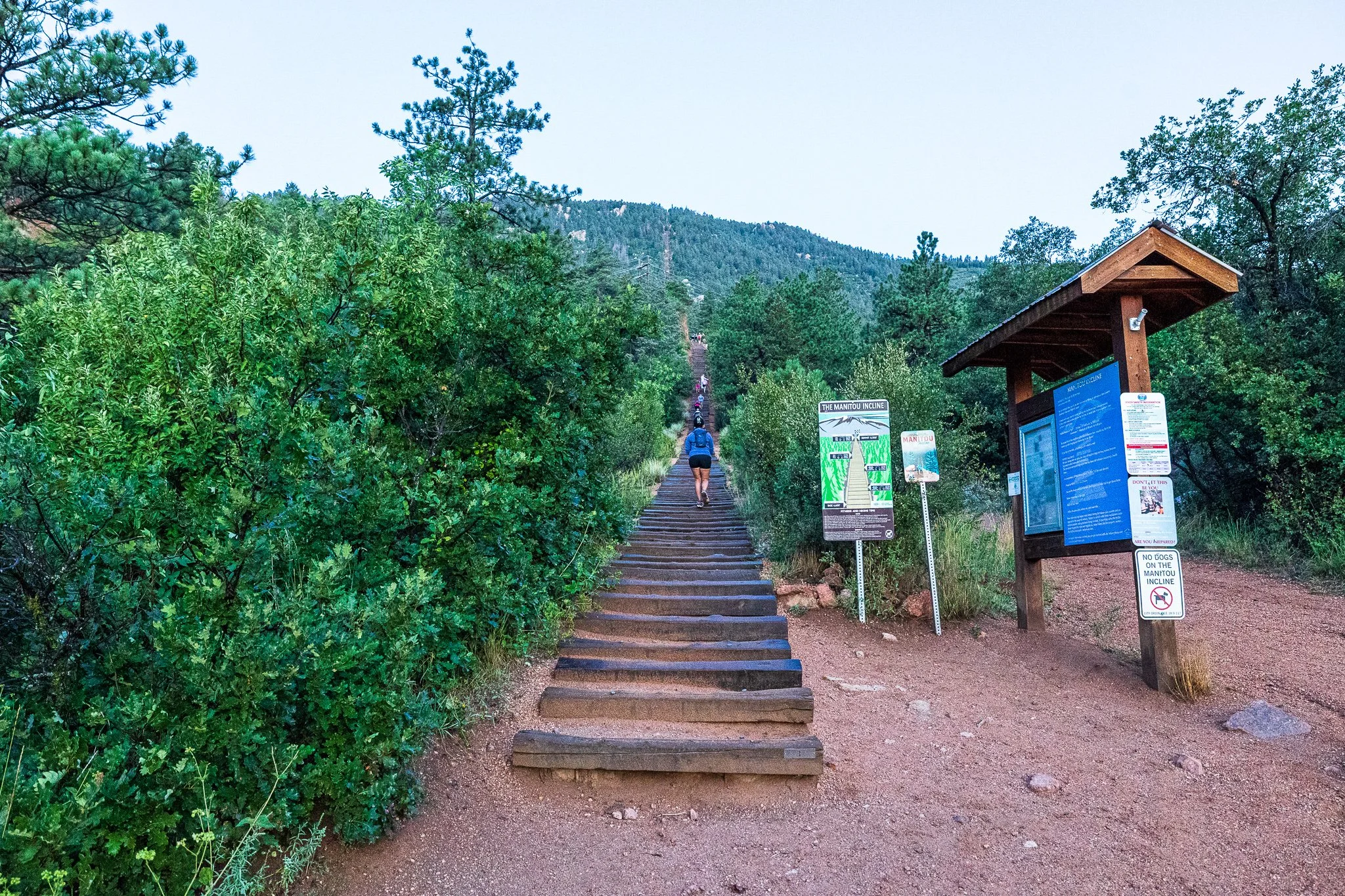
I had hoped to already be partway up the Incline by sunrise, so in hindsight, I should have started quite a bit earlier. I intentionally waited until civil twilight because I had read about bear sightings in the area. I was nervous about potentially encountering one while hiking in complete darkness, so I chose to wait until there was at least some light.
It took me 2 hours and 12 minutes to hike the Manitou Incline, partially because I kept stopping and turning around to get photos of the sun as it slowly poked up through the clouds, and partially because I just needed time to rest as I hiked up.
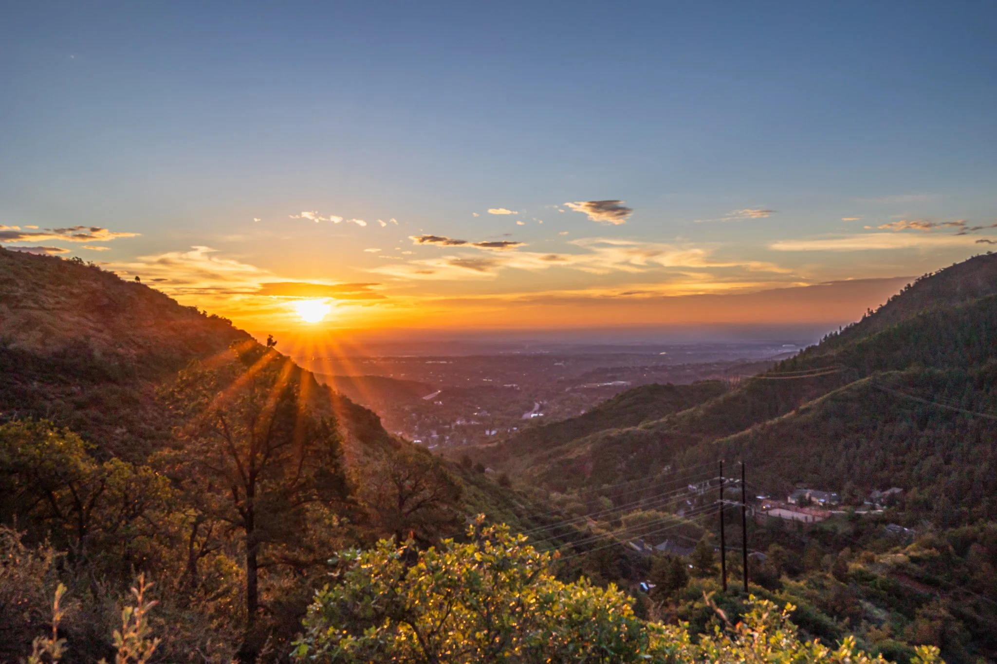
As the sun rose, we were all treated to a beautiful cloud inversion, the first one I had ever seen. A layer of low clouds filled the Colorado Springs valley below while the higher elevations remained above the cloud deck, creating what looked like an ocean of clouds beneath the mountains. It was so beautiful to see!!
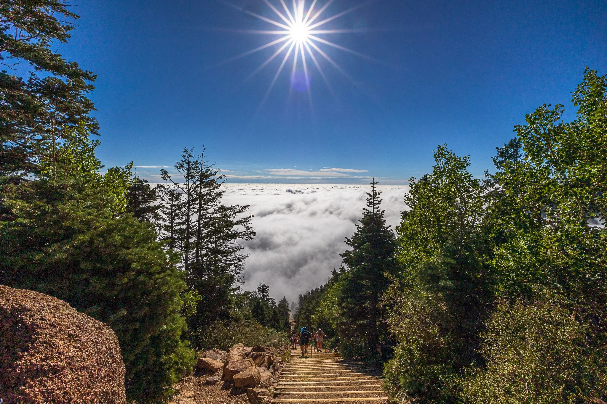
If you’re unable to make it to the top, there are marked bailout options around steps 395, 1,300, and 1,800. The first two connect with the Northern Incline Return Trail, while the well-known bailout around step 1,800 connects with Barr Trail. There is also a bench near the 1,800-step bailout where hikers can rest before beginning the approximately 3-mile descent back toward the base.
When I finally reached the top, I stopped to take some pictures and chat with some people before beginning my descent.
The Descent
Rather than walking back down the Incline itself, I followed the Barr Trail, which is the recommended route back to the base. While you might see some people descending the Incline itself, they are generally very familiar with the route. I wouldn’t recommend attempting it unless you know the Incline extremely well.
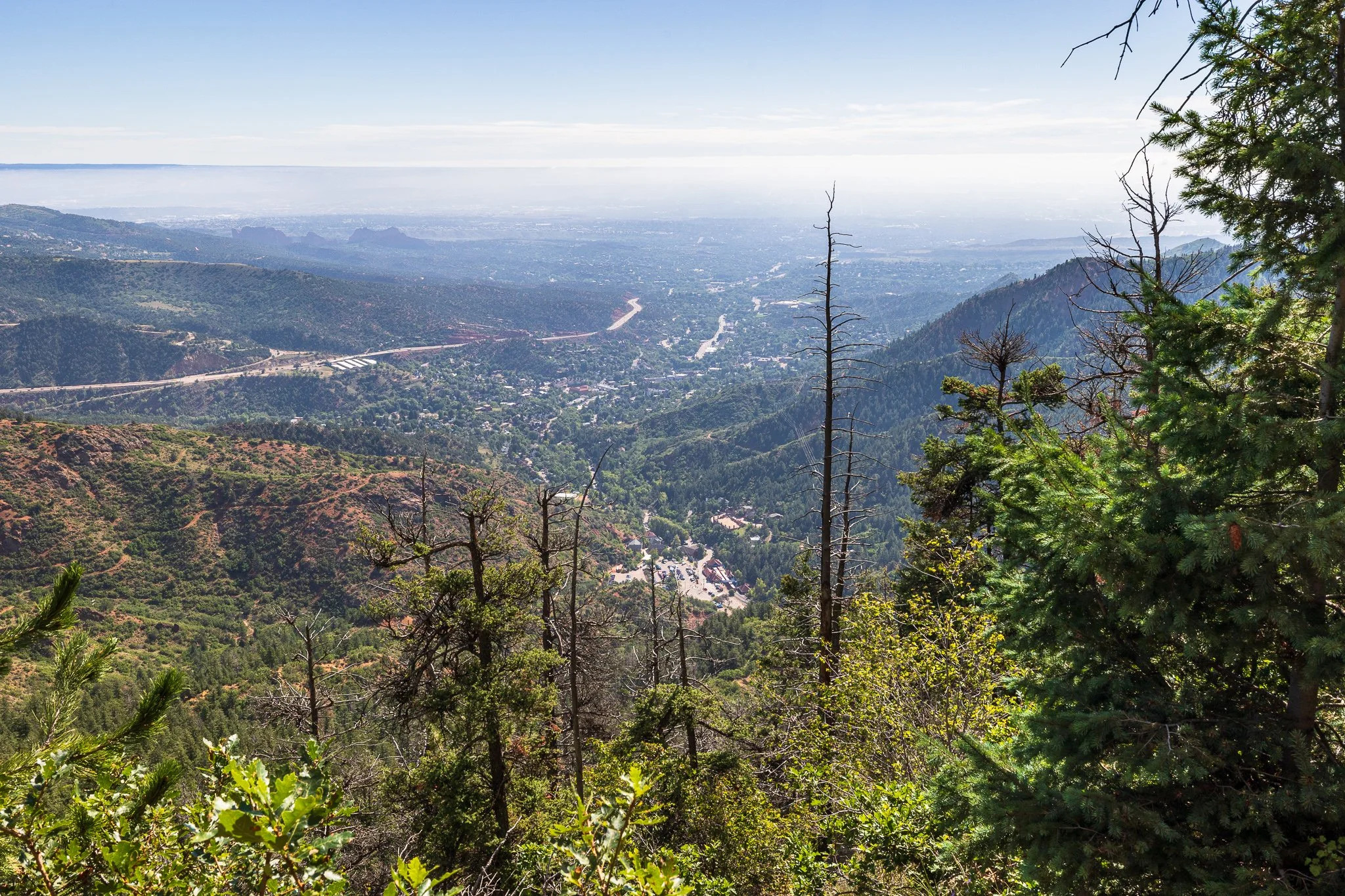
The clearly marked Barr Trail winds about three miles back down the mountain through a series of switchbacks, eventually ending near the base of the Incline. At a steady walking pace, the descent can take around an hour. Along the way, the trail also provides sweeping, panoramic views of Colorado Springs and the eastern plains.
I got back to my car around 10:45am, which put me beyond the four-hour parking limit. Luckily, the parking attendant didn’t give me any trouble about being a little late. The time limit is more so intended to prevent people from using the lot to hike the Manitou Incline and then continue farther along Barr Trail, rather than to penalize Incline hikers who take a little longer than four hours.
I headed back to the hotel to shower and change before heading back out to wander around Colorado Springs.
Colorado Springs
At 12:00pm, I drove from The Cliff House at Pikes Peak to the Kiowa Garage at 127 E. Kiowa Street in Colorado Springs. I then spent about four hours following my own walking tour of downtown Colorado Springs. I made sure to bring an umbrella with me, which came in handy later when it started raining as I was walking back to my car.
My walking tour started at Acacia Park, a fun, free, multi-use oasis in the heart of downtown Colorado Springs.
Since it was Sunday, the Sunday Market was also taking place. From 9:00am to 2:00pm, the open-air market features fresh food, local goods, bakers, growers, and makers. I didn’t even realize the Sunday Market took place until I showed up, so it was a fun, lively surprise. I wandered around the park for a while to see what everyone was selling, although I didn’t end up purchasing anything.
While I was there, I made sure to get photos of the Historic Bandshell, Uncle Wilber’s Fountain, and the beautiful mountain views.
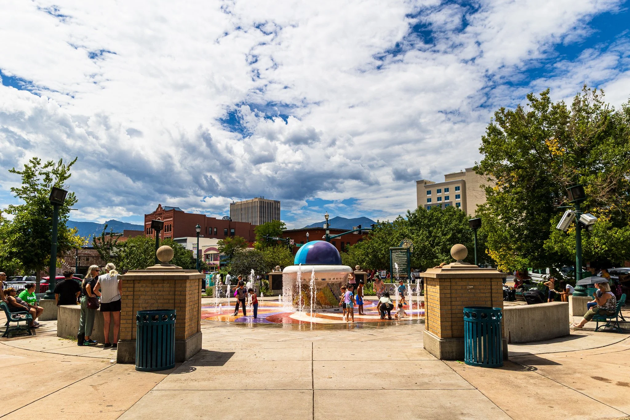
From Acacia Park, I walked west along Bijou Street, a well-known east-west thoroughfare through the city, before heading south on Tejon Street, one of downtown Colorado Springs’ prominent historic and commercial streets, toward AdAmAn Alley.
AdAmAn Alley is a transformed pedestrian walkway in downtown Colorado Springs honoring the AdAmAn Club and its tradition of climbing Pikes Peak to set off fireworks on New Year’s Eve. Located between Tejon Street and Nevada Avenue, the alley features large murals, projection-mapped lighting depicting fireworks, a metal climber archway, and pavement designed to resemble the Barr Trail.
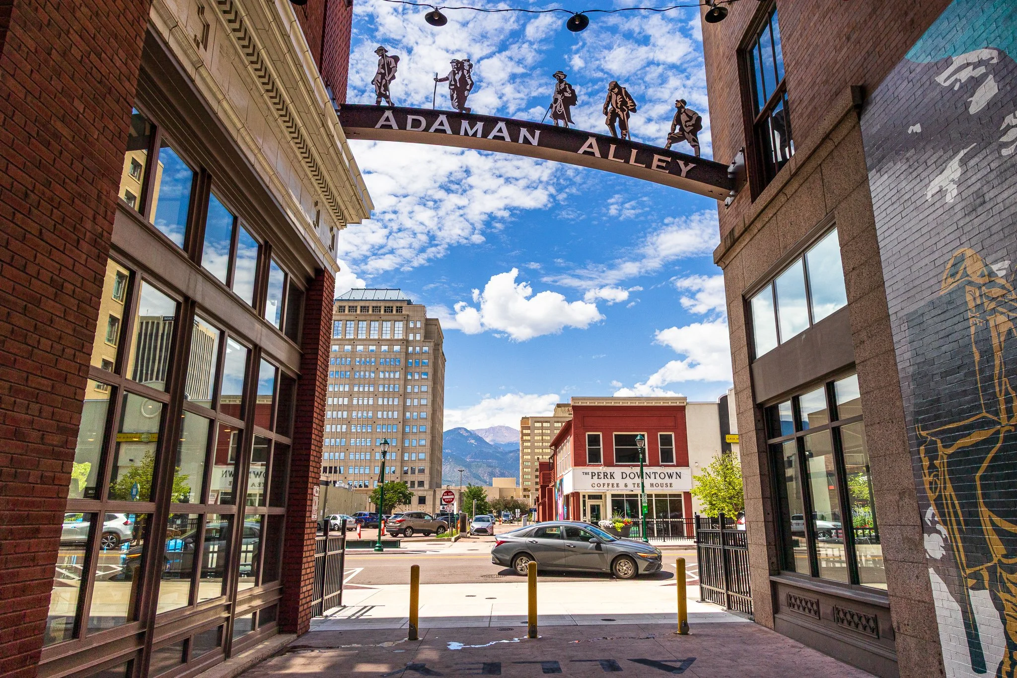
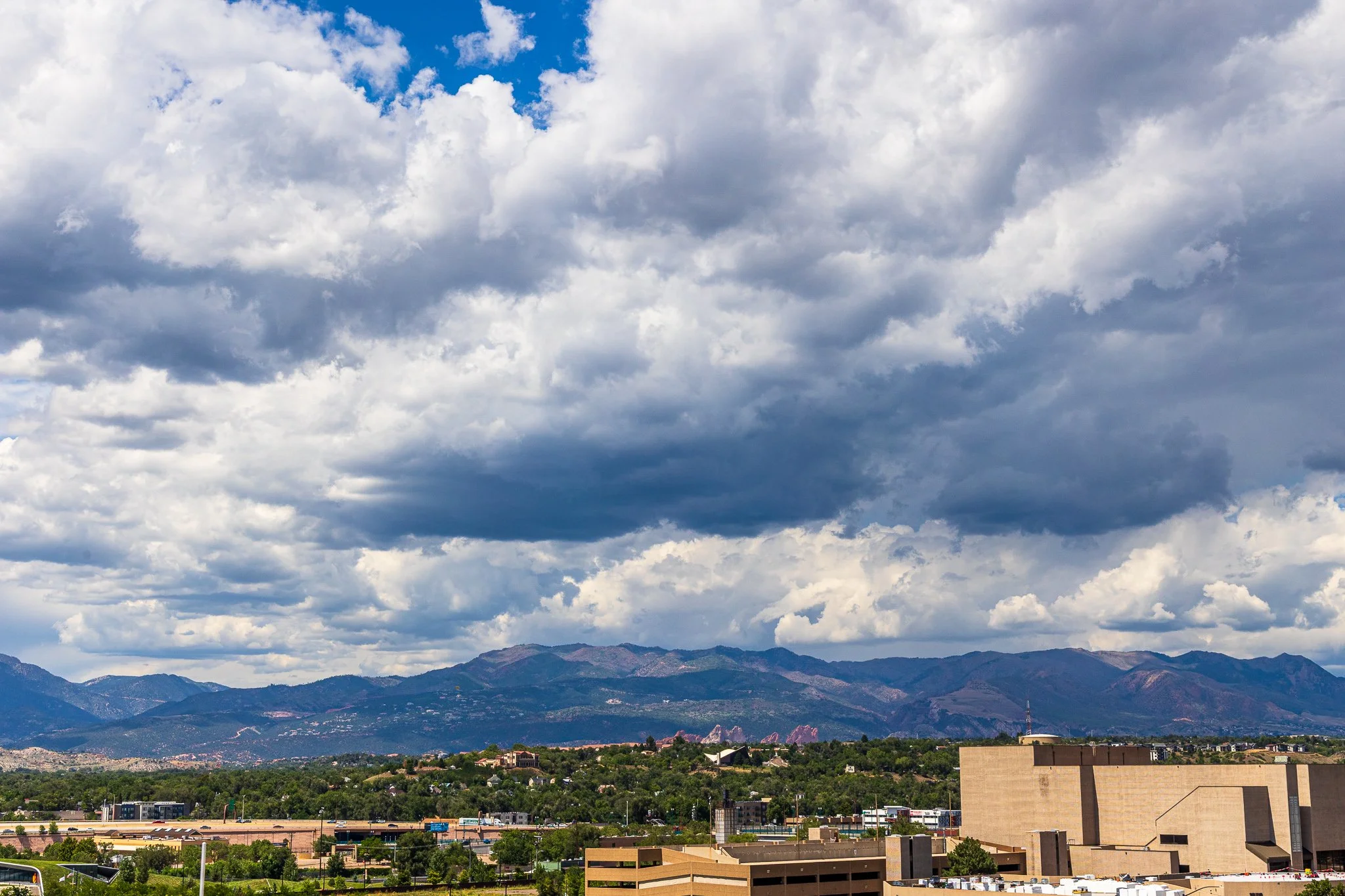
After getting a couple of photos of AdAmAn Alley, I walked to Lumen8 Rooftop Social for a mocktail, arriving around 1:30pm. I stopped there because I had read that it has an open-air rooftop patio and lounge area with panoramic views of Pikes Peak and downtown Colorado Springs.
Since I arrived so close to their break between brunch and dinner service, I only had about 30 minutes to take some photos and rest my feet. Luckily, that wound up being plenty of time, and I was still able to relax and enjoy their Rooftop Refresher mocktail. Again, since this trip was so hiking-focused, I had decided not to drink any alcohol until after I finished my planned hikes. I was grateful that Lumen8 had such a good mocktail list!
I left around 2:00pm and walked to the Colorado Springs Pioneers Museum to take a photo before continuing along Vermijo Avenue toward the U.S. Olympic & Paralympic Museum. I didn’t go inside either museum on this visit, but both made convenient stops along my walking route.
From there, I walked across the Park Union Bridge, which gave me an elevated view of America the Beautiful Park. The park is known for the Julie Penrose Fountain, a 40-foot-tall sculptural water feature; the Fantasy Playground, with interactive climbing elements and art pieces; and access to the Midland Trail and Pikes Peak Greenway Trail.
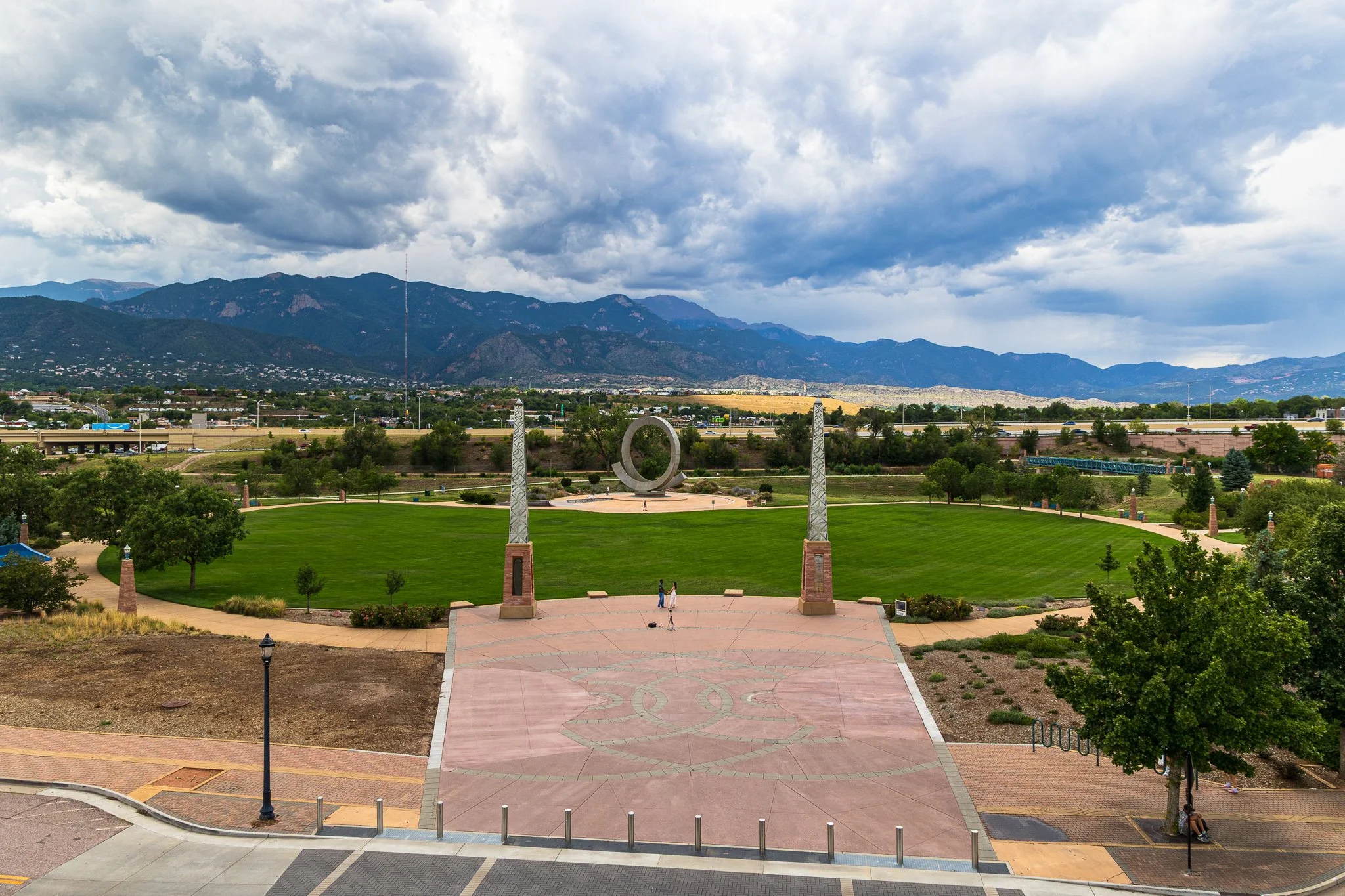
After getting some photos of the park, I walked to Shuga’s for a late lunch/early dinner. The restaurant is known for its eclectic, globally inspired comfort food served in a retro space that was once a 1910 grocery store.
I arrived at Shuga’s around 3:00pm and initially sat outside on their patio. Not long after sitting down, I noticed the clouds becoming increasingly ominous and looking like rain. After placing my order for the Favorites Platter, I asked to move inside, which wound up being perfect timing. About 20 minutes later, the rain started coming down.
Like clockwork, it rained every afternoon I was in Colorado, even if only for a little while. In Denver, Breckenridge, Colorado Springs, and Manitou Springs, the rain was generally brief and light, with isolated afternoon mountain showers and scattered passing thunderstorms, even as other parts of Colorado experienced more significant monsoonal weather.
Around 4:00pm, I walked through the rain back to my car at the Kiowa Garage and drove back to the hotel. I spent the rest of the evening relaxing and headed to bed early before my rescheduled hot air balloon ride the next morning!