Colorado - Day 4: Mount Sherman
On Tuesday, August 25, 2026, I summitted Mount Sherman, my second 14er overall and the first of this trip.
Mount Sherman
Key Details for the standard hiking route:
Route: Southwest Ridge
Trailhead: Fourmile Creek
Difficulty: Class 1 hike
Elevation: 14,043 ft
Distance round-trip: 5.25 miles round trip
Elevation Gain: 2,100 ft
A “14er” is a mountain peak that reaches at least 14,000 feet in elevation. It’s generally recommended to begin hiking a 14er early to give yourself plenty of time to reach the summit and get off exposed ridgelines by around 12pm, before afternoon thunderstorms become a concern. Weather can change quickly at high elevations, so it’s important to bring layers, including a waterproof rain jacket, fleece, and warm accessories, while avoiding cotton clothing. Drinking plenty of water, taking your time, and paying attention to how your body is responding to the altitude are also important.
Before heading out, I recommend checking 14ers.com for detailed route descriptions, maps, recent trail conditions, weather information, and other important updates.
Mount Sherman is a 14er located in Colorado’s Mosquito Range. Standing at 14,043 feet, it ranks #43 among Colorado’s 53 officially recognized 14ers. According to 14ers.com, there are three main routes to the summit, each with a different round-trip distance and elevation gain.
The Southwest Ridge, Mount Sherman’s standard route, is approximately 5.25 miles round trip with about 2,100 feet of elevation gain when starting near the 12,000-foot gate on Fourmile Creek Road. The route follows a fairly distinct trail for most of the hike and is generally considered one of Colorado’s more approachable 14ers, making it a popular choice for first-time 14er hikers and visitors hoping to experience hiking at high altitude.
I left River Mountain Lodge at 2:00am, arriving at the Fourmile Creek Trailhead at 3:30am.
Parking for Mount Sherman is free, but getting to the upper trailhead on Fourmile Creek Road (CR 18) can be an adventure of its own. The road is about 12 miles long and becomes progressively rougher as you climb, with the final stretch containing rocks, ruts, potholes, and uneven sections that can be difficult for lower-clearance vehicles.
Another thing to note is that there are no restrooms at the trailhead. There are two campgrounds along Fourmile Creek Road, Horseshoe Campground and Four Mile Campground, with outhouses and/or vault toilets available. I stopped at Horseshoe Campground around 3:00am, but in the pitch dark, I couldn’t find the toilets. Instead, I found a spot in the bushes before continuing toward the trailhead.
There is a lower parking area near the Leavick site at approximately 11,250 feet, about 10 miles up the road. From there, you can continue roughly another two miles to the upper trailhead near the gate at about 12,000 feet. Most SUVs and other vehicles with good clearance can generally make it to the upper parking area in normal summer conditions, while lower-clearance vehicles may be better off parking farther down.
The upper parking area is small and only holds around 10 cars, although there are additional pull-offs along Fourmile Creek Road where hikers can park if it fills up. Parking closer to the gate allows you to begin the standard 5.25-mile route from the higher trailhead rather than adding extra walking along the road.
Luckily, my Volkswagen Atlas handled the drive and I made it to the upper parking area. I arrived around 3:30am and was the first car there.
I started the hike around 3:45am. I wore my hiking pants, a short-sleeved workout shirt, my Mountain Hardwear Crater Lake Long-Sleeve Hoody, Salomon Speedcross 5 hiking shoes, and Patagonia Nano Puff Insulated Jacket. Since I was starting before sunrise, I wore a headlamp for the first part of the hike. I also used the hiking poles I rented through LowerGear Outdoors and carried my Gregory Jade 28 daypack, which held my 3-liter CamelBak, snacks, and the rest of my hiking essentials. For food, I packed a tortilla wrap with hummus and deli meat, an apple, some CLIF SHOT BLOKS, and trail mix. I didn’t eat all of it during the hike, but I did finish everything throughout the rest of the day!
I also hike with a Cotton Carrier Harness, which allows me to carry my camera right in the middle of my chest, keeping the weight aligned with my center of gravity. For this hike, I used my Canon R6 paired with my 15-35mm lens. While the camera adds some extra weight, the Cotton Carrier Harness makes carrying it while hiking much easier and keeps it readily accessible whenever I want to stop and take photos.
Even though Mount Sherman is a popular hike, I was surprisingly alone for most of my ascent. I only saw one couple on my way to the top, and they were already descending from the summit toward the trailhead for the West Slopes route. I did, however, start seeing quite a few other hikers once I was making my way back down.
I chose to start the hike so early because I was hoping to get some amazing photos of the sunrise from the summit, or at least somewhere near it. Sunrise was at 6:26am, and I reached the summit at 7:30am. While I didn’t make it to the summit by sunrise, I was still high enough on the mountain to get some beautiful photos of the sunrise as I made my way toward the top.
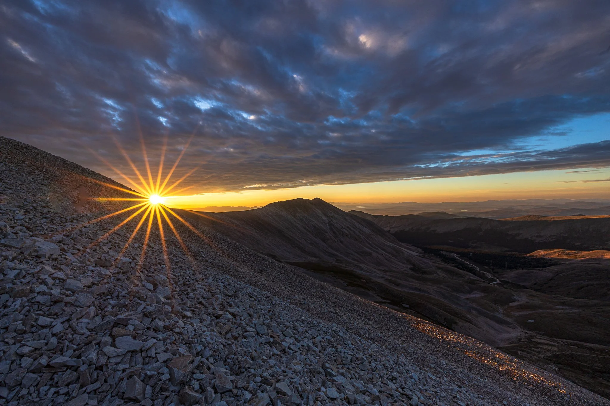
One of the things that threw me off toward the top was what felt like three false summits, each marked by a cairn, a human-made pile or stack of stones that can serve as a trail marker, landmark, boundary marker, or memorial. In the distance, I would see a cairn and think I was almost there. Then I’d reach it, look beyond it, and see another cairn farther ahead. That happened three times before I finally reached the actual summit.
The actual summit of Mount Sherman is marked by a metal pipe and a white wooden block.
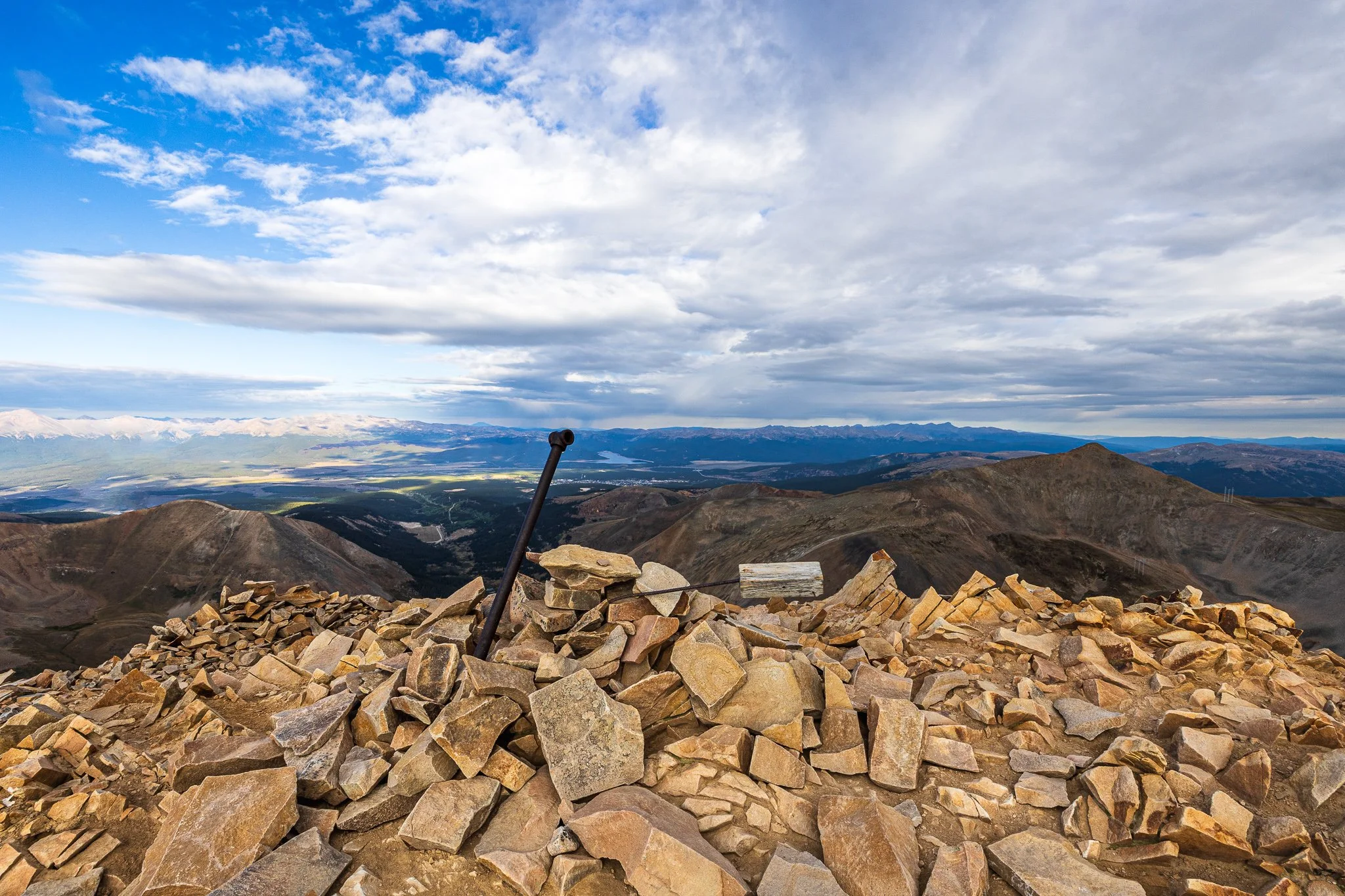
I spent about 30 minutes at the summit, taking photos and relishing in the accomplishment of reaching my first 14er of this trip (second overall).
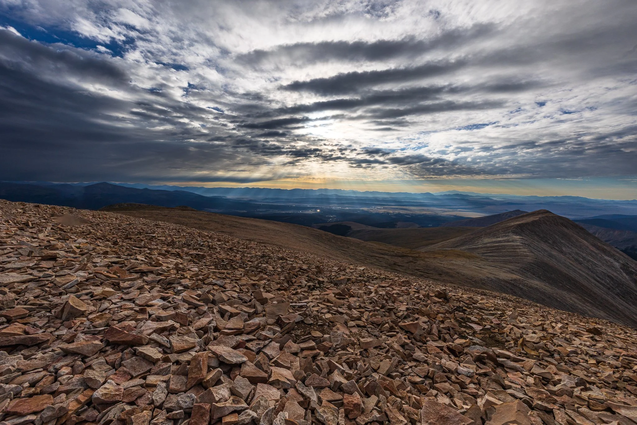
Once I was satisfied with the photos I had captured, I started making my way back down. It wasn’t until then that I began encountering other hikers heading toward the summit. I returned to my car around 10:30am.
That put my total hiking time at about 6.5 hours. From what I had read online, the standard route from the upper parking area typically takes about 3–5 hours round trip. However, I wasn’t exactly rushing, as I spent about 30 minutes at the summit, made several stops on the way up to photograph the sunrise, and took plenty of breaks overall as I adjusted to the elevation. Overall, I was happy with my time, proud to have summited Mount Sherman, and absolutely loved the sunrise photos I got along the way.
I drove back to my hotel to shower and change, ate dinner later that evening, and headed to bed early so I could wake up and hike Quandary Peak for sunrise the next morning. I figured I might as well keep the momentum going and hike two 14ers in two days!